L1
- The Austro-Hungarian Monarchy and Balkans
L4
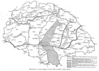
- Demarcation Lines, Neutral Zones in Hungary, November 1918 - March 1919
L5
- Hungary,
administration 1854-60
L6
- Distribution of Cattle by counties; Proportion of Cattle to Arable Land
by counties (in Hungary)


